
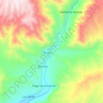
Río Sama topographic map
Interactive map
Click on the map to display elevation.
About this map
Name: Río Sama topographic map, elevation, terrain.
Location: Río Sama, Inclán, Tacna, Perú (-17.66214 -70.46748 -17.59582 -70.43449)
Average elevation: 3,875 ft
Minimum elevation: 2,530 ft
Maximum elevation: 5,781 ft