
Pembroke topographic map
Interactive map
Click on the map to display elevation.
About this map
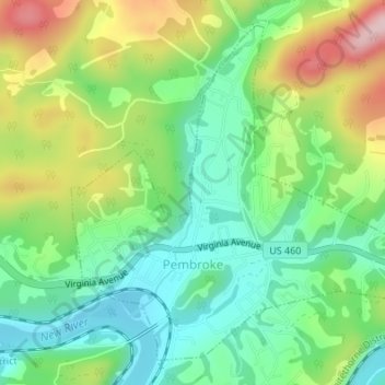
Name: Pembroke topographic map, elevation, terrain.
Location: Pembroke, Giles County, Virginia, USA (37.31321 -80.64944 37.33648 -80.62050)
Average elevation: 1,873 ft
Minimum elevation: 1,588 ft
Maximum elevation: 2,369 ft