
Couverclaz topographic map
Interactive map
Click on the map to display elevation.
About this map
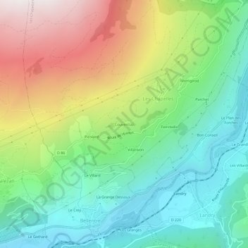
Name: Couverclaz topographic map, elevation, terrain.
Average elevation: 3,953 ft
Minimum elevation: 2,300 ft
Maximum elevation: 6,837 ft
Other topographic maps
Click on a map to view its topography, its elevation and its terrain.
Villarivon
France > Auvergne-Rhône-Alpes > Savoie > Les Chapelles
Villarivon, Les Chapelles, Albertville, Savoie, Auvergne-Rhône-Alpes, France métropolitaine, 73700, France
Average elevation: 3,652 ft
Picolard
France > Auvergne-Rhône-Alpes > Savoie > Les Chapelles > Picolard
Picolard, Les Chapelles, Albertville, Savoie, Auvergne-Rhône-Alpes, France métropolitaine, 73700, France
Average elevation: 4,045 ft