
Tecolutilla topographic map
Interactive map
Click on the map to display elevation.
About this map
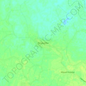
Name: Tecolutilla topographic map, elevation, terrain.
Location: Tecolutilla, Comalcalco, Tabasco, 86640, México (18.24307 -93.37357 18.32307 -93.29357)
Average elevation: 20 ft
Minimum elevation: -3 ft
Maximum elevation: 39 ft
Other topographic maps
Click on a map to view its topography, its elevation and its terrain.