
Wijgmaal topographic map
Interactive map
Click on the map to display elevation.
About this map
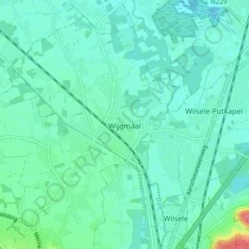
Name: Wijgmaal topographic map, elevation, terrain.
Location: Wijgmaal, Leuven, Vlaams-Brabant, Vlaanderen, 3018, België (50.90643 4.68012 50.94643 4.72012)
Average elevation: 52 ft
Minimum elevation: 13 ft
Maximum elevation: 230 ft