
Petit-Enghien topographic map
Interactive map
Click on the map to display elevation.
About this map
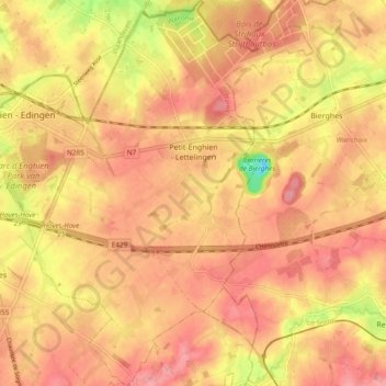
Name: Petit-Enghien topographic map, elevation, terrain.
Location: Petit-Enghien, Enghien, Ath, Hainaut, Wallonie, Belgique (50.65357 4.03724 50.71351 4.11410)
Average elevation: 217 ft
Minimum elevation: 10 ft
Maximum elevation: 305 ft
Other topographic maps
Click on a map to view its topography, its elevation and its terrain.