
Totolapan topographic map
Interactive map
Click on the map to display elevation.
About this map
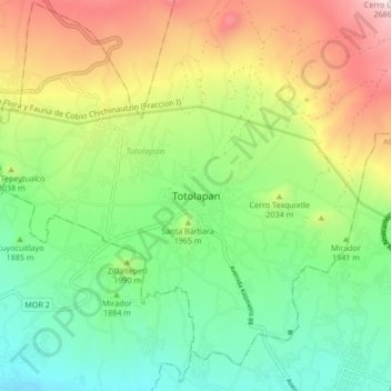
Name: Totolapan topographic map, elevation, terrain.
Location: Totolapan, Morelos, México (18.94719 -98.96049 19.02719 -98.88049)
Average elevation: 6,493 ft
Minimum elevation: 5,220 ft
Maximum elevation: 8,665 ft