
Al Bandariyah topographic map
Interactive map
Click on the map to display elevation.
About this map
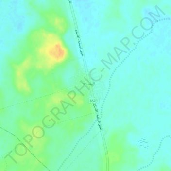
Name: Al Bandariyah topographic map, elevation, terrain.
Location: Al Bandariyah, Al-Qassim Region, Saudi Arabia (26.57750 44.25653 26.61750 44.29653)
Average elevation: 1,860 ft
Minimum elevation: 1,834 ft
Maximum elevation: 1,929 ft