
Lesse topographic map
Interactive map
Click on the map to display elevation.
About this map
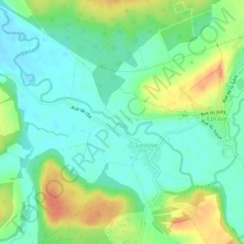
Name: Lesse topographic map, elevation, terrain.
Location: Lesse, Lessive, Rochefort, Dinant, Namen, Wallonië, 5580, België (50.14031 5.13570 50.14556 5.15291)
Average elevation: 505 ft
Minimum elevation: 449 ft
Maximum elevation: 607 ft
Other topographic maps
Click on a map to view its topography, its elevation and its terrain.