
Orizaba topographic map
Interactive map
Click on the map to display elevation.
About this map
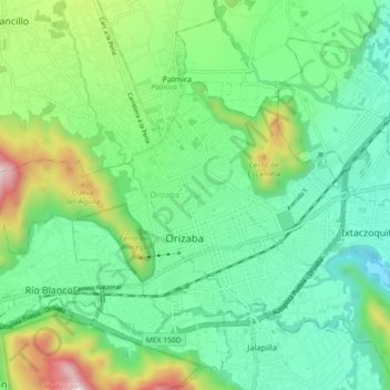
Name: Orizaba topographic map, elevation, terrain.
Location: Orizaba, Veracruz, Mexico (18.83202 -97.15760 18.88617 -97.06798)
Average elevation: 4,295 ft
Minimum elevation: 3,379 ft
Maximum elevation: 6,654 ft