
Wauwil topographic map
Interactive map
Click on the map to display elevation.
About this map
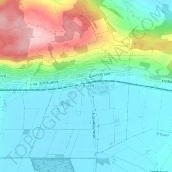
Name: Wauwil topographic map, elevation, terrain.
Location: Wauwil, Luzern, 6242, Schweiz (47.17295 8.01310 47.19569 8.03671)
Average elevation: 1,808 ft
Minimum elevation: 1,621 ft
Maximum elevation: 2,297 ft