
Ster topographic map
Interactive map
Click on the map to display elevation.
About this map
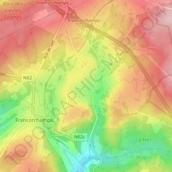
Name: Ster topographic map, elevation, terrain.
Location: Ster, Stavelot, Verviers, Liège, Wallonie, 4970, Belgique (50.44105 5.95185 50.48105 5.99185)
Average elevation: 1,637 ft
Minimum elevation: 1,266 ft
Maximum elevation: 1,942 ft