
Fritz topographic map
Interactive map
Click on the map to display elevation.
About this map
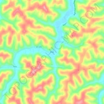
Name: Fritz topographic map, elevation, terrain.
Location: Fritz, Magoffin County, Kentucky, United States (37.68148 -83.17156 37.72148 -83.13156)
Average elevation: 1,053 ft
Minimum elevation: 843 ft
Maximum elevation: 1,260 ft