
Mina Montesinho-Vale da Ossa-Portelo topographic map
Interactive map
Click on the map to display elevation.
About this map
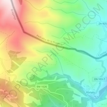
Name: Mina Montesinho-Vale da Ossa-Portelo topographic map, elevation, terrain.
Average elevation: 3,189 ft
Minimum elevation: 2,467 ft
Maximum elevation: 4,249 ft