
San Jose topographic map
Interactive map
Click on the map to display elevation.
About this map
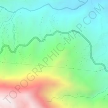
Name: San Jose topographic map, elevation, terrain.
Location: San Jose, Cocorná, Oriente, Antioquia, Colombia (6.02199 -75.19577 6.04199 -75.17577)
Average elevation: 4,806 ft
Minimum elevation: 3,563 ft
Maximum elevation: 7,149 ft
Other topographic maps
Click on a map to view its topography, its elevation and its terrain.
La Piñuela
Colombia > Antioquia > Cocorná
La Piñuela, Cocorná, Oriente, Antioquia, RAP del Agua y la Montaña, Colombia
Average elevation: 3,638 ft