
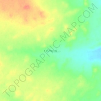
Kel Aharas topographic map
Interactive map
Click on the map to display elevation.
About this map
Name: Kel Aharas topographic map, elevation, terrain.
Location: Kel Aharas, Ménaka, Mali (16.23668 1.92982 16.27668 1.96982)
Average elevation: 1,171 ft
Minimum elevation: 1,093 ft
Maximum elevation: 1,243 ft