
Safsaf topographic map
Interactive map
Click on the map to display elevation.
About this map
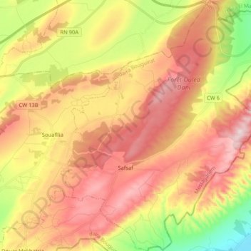
Name: Safsaf topographic map, elevation, terrain.
Location: Safsaf, daïra Bouguirat, Mostaganem, Algérie (35.80067 0.33748 35.93131 0.47113)
Average elevation: 991 ft
Minimum elevation: 164 ft
Maximum elevation: 1,690 ft