
Butte de Thil topographic map
Interactive map
Click on the map to display elevation.
About this map
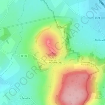
Name: Butte de Thil topographic map, elevation, terrain.
Average elevation: 1,270 ft
Minimum elevation: 1,076 ft
Maximum elevation: 1,621 ft
Other topographic maps
Click on a map to view its topography, its elevation and its terrain.
Maison Dieu
France > Bourgogne-Franche-Comté > Côte-d'Or > Vic-sous-Thil
Maison Dieu, Vic-sous-Thil, Montbard, Côte-d'Or, Bourgogne-Franche-Comté, France métropolitaine, 21390, France
Average elevation: 1,211 ft