
Gorey topographic map
Interactive map
Click on the map to display elevation.
About this map
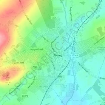
Name: Gorey topographic map, elevation, terrain.
Location: Gorey, County Wexford, Leinster, Ireland (52.67019 -6.30903 52.68339 -6.27967)
Average elevation: 197 ft
Minimum elevation: 92 ft
Maximum elevation: 413 ft