Geolocate

Monfero topographic map

Click on the map to display elevation.

About this map
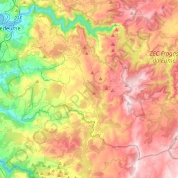
Name: Monfero topographic map, elevation, terrain.

Location: Monfero, O Eume, A Coruña, Galicia, Spain (43.27607 -8.12505 43.41662 -7.88113)

Average elevation: 1,165 ft

Minimum elevation: 0 ft

Maximum elevation: 2,329 ft

Other topographic maps

Click on a map to view its topography, its elevation and its terrain.

Abercovo

Spain > Galicia > O Eume > Monfero

Average elevation: 791 ft

O Xestal

Spain > Galicia > O Eume

Average elevation: 1,152 ft

Gear up for your next adventure:

🧭Map Reading Tools - Tools and kits for map navigation
🚗GPS Dash Cams - Record your scenic drives through mountain passes and canyons
⛑️Personal Locator Beacon - Safety beacon for emergencies
🦶Hiking Gaiters - Keep debris and water out of your boots
🧣Merino Neck Gaiters - Multi-functional headwear for wind and sun protection

As an Amazon Associate, this site earns from qualifying purchases at no extra cost to you.