
Verkhoyansk topographic map
Interactive map
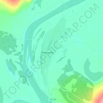
Click on the map to display elevation.
About this map
Name: Verkhoyansk topographic map, elevation, terrain.
Average elevation: 459 ft
Minimum elevation: 394 ft
Maximum elevation: 801 ft
In this area, temperature inversions consistently form in winter due to the extremely cold and dense air of the Siberian High pooling in deep hollows, so that temperatures increase rather than decrease with higher altitude. In Verkhoyansk it sometimes happens that the average minimum temperatures for January, February, and December are below −50 °C (−58 °F).
Other topographic maps
Click on a map to view its topography, its elevation and its terrain.
Batagay
Russia > Sakha Republic > Verkhoyansky Ulus > Batagay
Batagay, городское поселение Батагай, Verkhoyansky Ulus, Sakha Republic, Far Eastern Federal District, Russia
Average elevation: 538 ft