
Les Granges de Brison topographic map
Interactive map
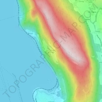
Click on the map to display elevation.
About this map
Name: Les Granges de Brison topographic map, elevation, terrain.
Average elevation: 1,398 ft
Minimum elevation: 738 ft
Maximum elevation: 2,740 ft
Other topographic maps
Click on a map to view its topography, its elevation and its terrain.
Lac du Bourget
France > Auvergne-Rhône-Alpes > Savoie > Brison-Saint-Innocent
Lac du Bourget, Brison-Saint-Innocent, Chambéry, Savoie, Auvergne-Rhône-Alpes, France métropolitaine, 73100, France
Average elevation: 1,460 ft