Fontaine-le-Puits topographic map
Interactive map
Click on the map to display elevation.
About this map
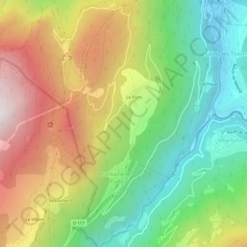
Name: Fontaine-le-Puits topographic map, elevation, terrain.
Average elevation: 3,642 ft
Minimum elevation: 1,575 ft
Maximum elevation: 6,414 ft

Click on the map to display elevation.
Name: Fontaine-le-Puits topographic map, elevation, terrain.
Average elevation: 3,642 ft
Minimum elevation: 1,575 ft
Maximum elevation: 6,414 ft