
Georgian Bay topographic map
Interactive map
Click on the map to display elevation.
About this map
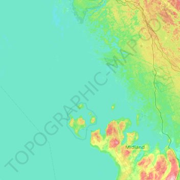
Name: Georgian Bay topographic map, elevation, terrain.
Average elevation: 630 ft
Minimum elevation: 561 ft
Maximum elevation: 1,198 ft
Other topographic maps
Click on a map to view its topography, its elevation and its terrain.
Georgian Bay Islands National Park
Canada > Ontario > Georgian Bay
Georgian Bay Islands National Park, Georgian Bay, District Municipality of Muskoka, Muskoka District, Ontario, Canada
Average elevation: 587 ft