
Purwodadi topographic map
Interactive map
Click on the map to display elevation.
About this map
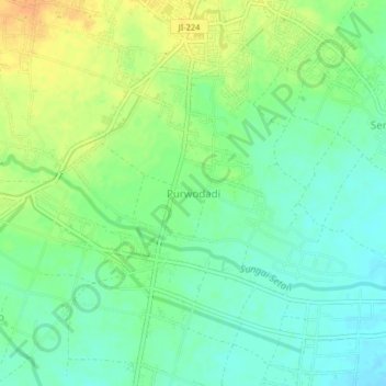
Name: Purwodadi topographic map, elevation, terrain.
Location: Purwodadi, Banyuwangi, East Java, 68486, Indonesia (-8.48103 114.16370 -8.44103 114.20370)
Average elevation: 262 ft
Minimum elevation: 217 ft
Maximum elevation: 322 ft