
Schlins topographic map
Interactive map
Click on the map to display elevation.
About this map
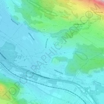
Name: Schlins topographic map, elevation, terrain.
Location: Schlins, Feldkirch, Vorarlberg, 6824, Austria (47.19481 9.66962 47.21733 9.72460)
Average elevation: 1,831 ft
Minimum elevation: 1,572 ft
Maximum elevation: 3,064 ft