
Little Georgetown topographic map
Interactive map
Click on the map to display elevation.
About this map
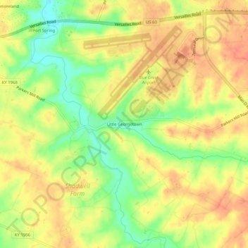
Name: Little Georgetown topographic map, elevation, terrain.
Location: Little Georgetown, Fayette County, Kentucky, 40513, USA (38.00632 -84.62985 38.04632 -84.58985)
Average elevation: 935 ft
Minimum elevation: 837 ft
Maximum elevation: 1,001 ft