
连川水库 topographic map
Interactive map
Click on the map to display elevation.
About this map
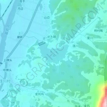
Name: 连川水库 topographic map, elevation, terrain.
Location: 连川水库, 桂林镇, 歙县, 黄山市, 安徽省, 中国 (29.92962 118.48791 29.93501 118.49725)
Average elevation: 482 ft
Minimum elevation: 384 ft
Maximum elevation: 1,273 ft
Other topographic maps
Click on a map to view its topography, its elevation and its terrain.