
LaFayette topographic map
Interactive map
Click on the map to display elevation.
About this map
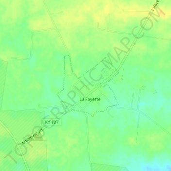
Name: LaFayette topographic map, elevation, terrain.
Location: LaFayette, Christian County, Kentucky, 42254, United States (36.65570 -87.66487 36.66526 -87.65274)
Average elevation: 554 ft
Minimum elevation: 512 ft
Maximum elevation: 591 ft
Other topographic maps
Click on a map to view its topography, its elevation and its terrain.
Hopkinsville
United States > Kentucky > Christian County
Hopkinsville, Christian County, Kentucky, 42240, United States
Average elevation: 561 ft
Herndon
United States > Kentucky > Christian County
Herndon, Christian County, Kentucky, United States
Average elevation: 535 ft