
Antões topographic map
Interactive map
Click on the map to display elevation.
About this map
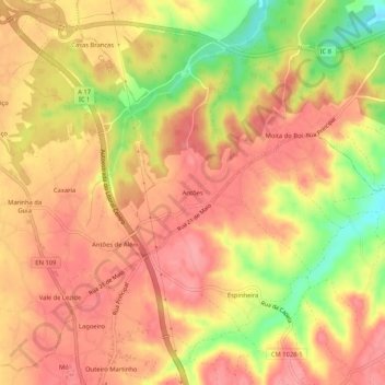
Name: Antões topographic map, elevation, terrain.
Location: Antões, Louriçal, Pombal, Leiria, 3105-089, Portugal (39.95123 -8.79057 39.99123 -8.75057)
Average elevation: 331 ft
Minimum elevation: 128 ft
Maximum elevation: 430 ft