
Canelas topographic map
Interactive map
Click on the map to display elevation.
About this map
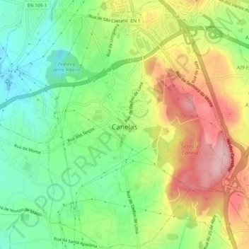
Name: Canelas topographic map, elevation, terrain.
Location: Canelas, Vila Nova de Gaia, Porto, Portugal (41.06352 -8.61485 41.09815 -8.58067)
Average elevation: 433 ft
Minimum elevation: 154 ft
Maximum elevation: 804 ft
Other topographic maps
Click on a map to view its topography, its elevation and its terrain.
Avintes
Portugal > Porto > Vila Nova de Gaia
Avintes, Vila Nova de Gaia, Porto, Portugal
Average elevation: 249 ft