
Mouafkia topographic map
Interactive map
Click on the map to display elevation.
About this map
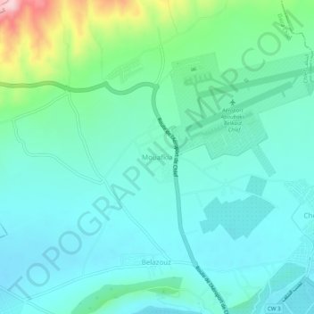
Name: Mouafkia topographic map, elevation, terrain.
Location: Mouafkia, Chlef, Daïra Chlef, Chlef, 02000, Algérie (36.18617 1.29873 36.22617 1.33873)
Average elevation: 476 ft
Minimum elevation: 312 ft
Maximum elevation: 1,106 ft