
Vance Lake topographic map
Interactive map
Click on the map to display elevation.
About this map
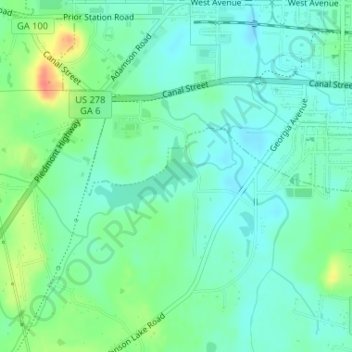
Name: Vance Lake topographic map, elevation, terrain.
Location: Vance Lake, Cedartown, Polk County, Georgia, United States (33.99497 -85.27974 34.00100 -85.27020)
Average elevation: 801 ft
Minimum elevation: 751 ft
Maximum elevation: 919 ft