
Lagginhorn topographic map
Interactive map
Click on the map to display elevation.
About this map
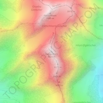
Name: Lagginhorn topographic map, elevation, terrain.
Location: Lagginhorn, Saas-Grund, Visp, Valais/Wallis, 3910, Switzerland (46.15700 8.00304 46.15710 8.00314)
Average elevation: 10,965 ft
Minimum elevation: 8,648 ft
Maximum elevation: 13,097 ft