
Mount Kita topographic map
Interactive map
Click on the map to display elevation.
About this map
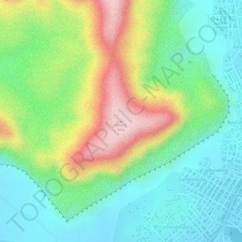
Name: Mount Kita topographic map, elevation, terrain.
Location: Mount Kita, Kita, Kita Cercle, Kayes, Mali (13.04473 -9.50996 13.04483 -9.50986)
Average elevation: 1,401 ft
Minimum elevation: 1,060 ft
Maximum elevation: 1,982 ft