
Bhagavathiparamb colony topographic map
Interactive map
Click on the map to display elevation.
About this map
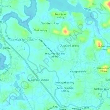
Name: Bhagavathiparamb colony topographic map, elevation, terrain.
Average elevation: 46 ft
Minimum elevation: 10 ft
Maximum elevation: 203 ft
Other topographic maps
Click on a map to view its topography, its elevation and its terrain.
Puranadathil colony
India > Kerala > Kozhikode > Cherukulam
Puranadathil colony, Cherukulam, Kozhikode, Kozhikode District, Kerala, 673317, India
Average elevation: 46 ft