
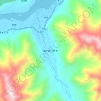
南伊珞巴族乡 topographic map
Interactive map
Click on the map to display elevation.
About this map
Name: 南伊珞巴族乡 topographic map, elevation, terrain.
Location: 南伊珞巴族乡, 南伊珞巴民族乡, 米林市, 林芝市, 西藏自治区, 中国 (29.13105 94.16085 29.21105 94.24085)
Average elevation: 11,450 ft
Minimum elevation: 9,606 ft
Maximum elevation: 15,627 ft