
Lutherville topographic map
Interactive map
Click on the map to display elevation.
About this map
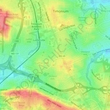
Name: Lutherville topographic map, elevation, terrain.
Location: Lutherville, Baltimore County, Maryland, United States (39.41290 -76.63844 39.43431 -76.59552)
Average elevation: 381 ft
Minimum elevation: 266 ft
Maximum elevation: 518 ft