
Sungai Bekah topographic map
Interactive map
Click on the map to display elevation.
About this map
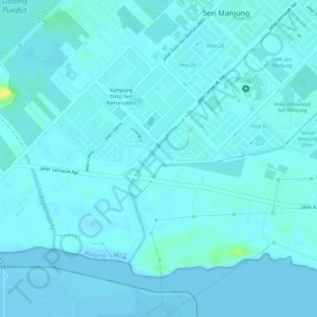
Name: Sungai Bekah topographic map, elevation, terrain.
Location: Sungai Bekah, Seri Manjung, Manjung, Perak, Malaysia (4.16983 100.65090 4.18771 100.66102)
Average elevation: 13 ft
Minimum elevation: -7 ft
Maximum elevation: 79 ft