
Nong Phai topographic map
Interactive map
Click on the map to display elevation.
About this map
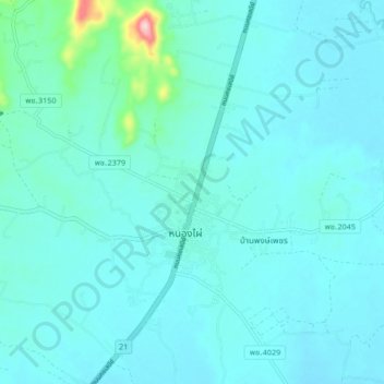
Name: Nong Phai topographic map, elevation, terrain.
Location: Nong Phai, Bua Watthana, Phetchabun Province, Thailand (15.94882 101.02343 16.02882 101.10343)
Average elevation: 341 ft
Minimum elevation: 272 ft
Maximum elevation: 906 ft
Other topographic maps
Click on a map to view its topography, its elevation and its terrain.
Phetchabun
Thailand > Phetchabun Province
Phetchabun, Phetchabun Province, 67000, Thailand
Average elevation: 394 ft
Phetchabun Province
Thailand > Phetchabun Province
Phetchabun Province, Thailand
Average elevation: 866 ft