
Ochsenfurt topographic map
Interactive map
Click on the map to display elevation.
About this map
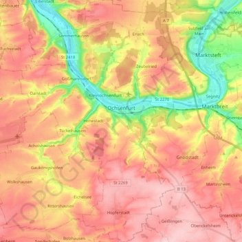
Name: Ochsenfurt topographic map, elevation, terrain.
Location: Ochsenfurt, Landkreis Würzburg, Beieren, 97199, Duitsland (49.59250 9.97846 49.72492 10.11459)
Average elevation: 889 ft
Minimum elevation: 568 ft
Maximum elevation: 1,112 ft