
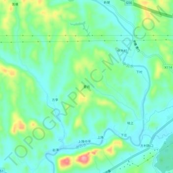
里坑 topographic map
Interactive map
Click on the map to display elevation.
About this map
Name: 里坑 topographic map, elevation, terrain.
Location: 里坑, 中云镇, 婺源县, 上饶市, 江西省, 中国 (29.20484 117.63582 29.24484 117.67582)
Average elevation: 341 ft
Minimum elevation: 220 ft
Maximum elevation: 656 ft