
Tashkent topographic map
Interactive map
Click on the map to display elevation.
About this map
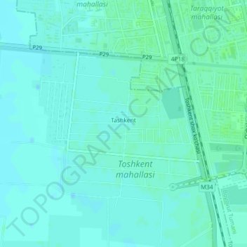
Name: Tashkent topographic map, elevation, terrain.
Location: Tashkent, Mirzaobod Tumani, Provinz Sirdaryo, Usbekistan (40.47225 68.74704 40.48849 68.77065)
Average elevation: 899 ft
Minimum elevation: 889 ft
Maximum elevation: 909 ft