
Querala topographic map
Interactive map
Click on the map to display elevation.
About this map
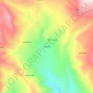
Name: Querala topographic map, elevation, terrain.
Location: Querala, General Sánchez Cerro, Moquegua, Peru (-16.19269 -70.79235 -16.15269 -70.75235)
Average elevation: 13,668 ft
Minimum elevation: 12,543 ft
Maximum elevation: 14,695 ft