
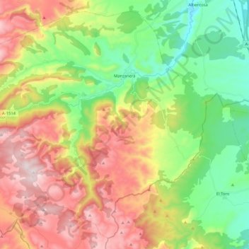
Manzanera topographic map
Interactive map
Click on the map to display elevation.
About this map
Name: Manzanera topographic map, elevation, terrain.
Location: Manzanera, Gúdar-Javalambre, Teruel, Aragón, España (39.95402 -0.96964 40.09894 -0.76205)
Average elevation: 4,016 ft
Minimum elevation: 2,923 ft
Maximum elevation: 5,502 ft