
Parroquia San José topographic map
Interactive map
Click on the map to display elevation.
About this map
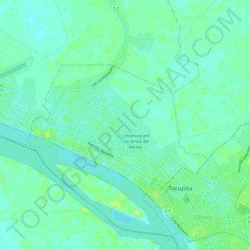
Name: Parroquia San José topographic map, elevation, terrain.
Average elevation: 20 ft
Minimum elevation: -3 ft
Maximum elevation: 46 ft
Other topographic maps
Click on a map to view its topography, its elevation and its terrain.
Gulf of Paria
Venezuela > Delta Amacuro State
Gulf of Paria, Delta Amacuro State, Venezuela
Average elevation: 69 ft
Tucupita
Venezuela > Delta Amacuro State > Municipio Tucupita
Tucupita, Parroquia Monseñor Argimiro García, Municipio Tucupita, Delta Amacuro State, 6401, Venezuela
Average elevation: 16 ft
Río Orinoco
Venezuela > Delta Amacuro State
Río Orinoco, Parroquia Juan Bautista Arismendi, Delta Amacuro State, Venezuela
Average elevation: 374 ft