
't Loo topographic map
Interactive map
Click on the map to display elevation.
About this map
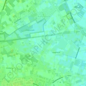
Name: 't Loo topographic map, elevation, terrain.
Location: 't Loo, Peel en Maas, Limburg, Nederland, 5981NN, Nederland (51.34591 5.99372 51.35032 5.99478)
Average elevation: 105 ft
Minimum elevation: 89 ft
Maximum elevation: 121 ft
Other topographic maps
Click on a map to view its topography, its elevation and its terrain.
Meijel
Nederland > Limburg > Peel en Maas > Meijel
Meijel, Peel en Maas, Limburg, Nederland, 5768, Nederland
Average elevation: 108 ft
Rooth
Nederland > Limburg > Peel en Maas > Rooth
Rooth, Peel en Maas, Limburg, Nederland, 5993, Nederland
Average elevation: 89 ft
Koningslust
Nederland > Limburg > Peel en Maas > Koningslust
Koningslust, Peel en Maas, Limburg, Nederland
Average elevation: 105 ft
Tongerlo
Nederland > Limburg > Peel en Maas
Tongerlo, Peel en Maas, Limburg, Nederland, 5993NR, Nederland
Average elevation: 98 ft