
Santa Ana topographic map
Interactive map
Click on the map to display elevation.
About this map
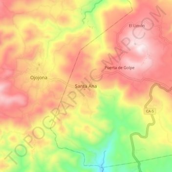
Name: Santa Ana topographic map, elevation, terrain.
Location: Santa Ana, Francisco Morazán, Honduras (13.88967 -87.31330 13.96967 -87.23330)
Average elevation: 4,488 ft
Minimum elevation: 2,999 ft
Maximum elevation: 5,630 ft