
St. Ulrich am Pillersee topographic map
Interactive map
Click on the map to display elevation.
About this map
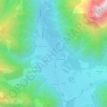
Name: St. Ulrich am Pillersee topographic map, elevation, terrain.
Average elevation: 3,671 ft
Minimum elevation: 2,720 ft
Maximum elevation: 6,919 ft