
Paraguay topographic map
Interactive map
Click on the map to display elevation.
About this map
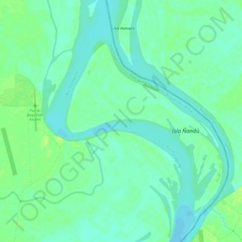
Name: Paraguay topographic map, elevation, terrain.
Average elevation: 213 ft
Minimum elevation: 190 ft
Maximum elevation: 243 ft
Other topographic maps
Click on a map to view its topography, its elevation and its terrain.
Río Aguaray Guazú
Paraguay > Presidente Hayes > Villa Hayes
Río Aguaray Guazú, Villa Hayes, Presidente Hayes, Región Occidental, Paraguay
Average elevation: 203 ft
Isla Saladillo
Paraguay > Presidente Hayes > Villa Hayes
Isla Saladillo, Villa Hayes, Presidente Hayes, Región Occidental, Paraguay
Average elevation: 223 ft
Riacho Negro
Paraguay > Presidente Hayes > Villa Hayes
Riacho Negro, Villa Hayes, Presidente Hayes, Región Occidental, Paraguay
Average elevation: 207 ft